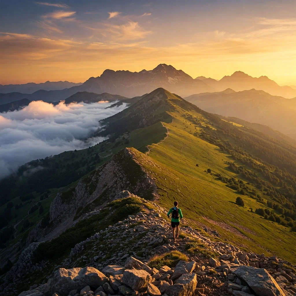
The Call of the Kaçkar: An Ultra Runner’s Challenge
Dreaming of Ultra Running Kaçkar Mountains? For the trail runner seeking more than just miles, Turkey’s majestic Kaçkar range offers a unique blend of raw beauty and formidable challenge. Rising dramatically from the Black Sea coast, this alpine environment beckons endurance athletes from around the globe.
A Majestic Setting for Trail Running
Located in northeastern Turkey (Rize & Artvin provinces), much of this breathtaking landscape is protected within the Kaçkar Mountains National Park. Imagine tackling trails that wind through ancient forests, across vast high-altitude plateaus (yaylas) dotted with glacial lakes, and along historic shepherd paths – a stunning yet demanding arena for Running in Kaçkar National Park.
The Unique Demands of Kaçkar
This is no ordinary ultra marathon destination. The Kaçkar Mountains Trail Running experience demands respect. Success here is earned by navigating truly technical terrain, conquering significant vertical gain, adapting to notoriously unpredictable weather (especially fog), and managing the effects of high altitude.
It’s a place where the stunning scenery is matched only by the intensity of the physical and mental challenge presented to those undertaking long-distance runs.
Purpose: Your Essential Kaçkar Running Guide
Whether you’re targeting a specific event like Kaçkar by UTMB, considering the original Kaçkar Ultra Trail, or planning an independent adventure, thorough preparation is paramount. This comprehensive Kaçkar Mountains Running Guide, compiled for the UMIT.net community, synthesizes vital information and expert insights.
Our aim is to equip you with the knowledge needed for training, planning, and safely executing your run. We cover the environment, races, routes, navigation, essential gear, altitude strategies, safety protocols, logistics, and local context – everything you need for your Kaçkar challenge.
Chapter 1: The Kaçkar Environment: A Runner’s Paradise & Proving Ground
Before tackling the demanding trails of the Kaçkar Mountains, understanding the unique environment is crucial. This isn’t just a scenic backdrop; it’s an active participant in your run, shaping every step and strategy.
1.1 Geography & Topography
Located in northeastern Turkey, straddling the Rize and Artvin provinces along the Eastern Black Sea coast, the Kaçkar range forms the region’s highest massif. Its highest point, Kaçkar Peak, reaches approximately 3,937 meters (12,917 ft).
Much of this stunning landscape is protected within the Kaçkar Mountains National Park, safeguarding its rich biodiversity. Key features include dramatic glaciated valleys, numerous high-altitude plateaus known locally as yaylas, sparkling glacial lakes, and the rushing Fırtına River carving its path through the valleys.
1.2 Terrain Breakdown for Runners
Expect extreme variety underfoot. Lower altitude trails wind through dense forests of beech, fir, and spruce, often featuring steep sections with roots and potential mud after rain.
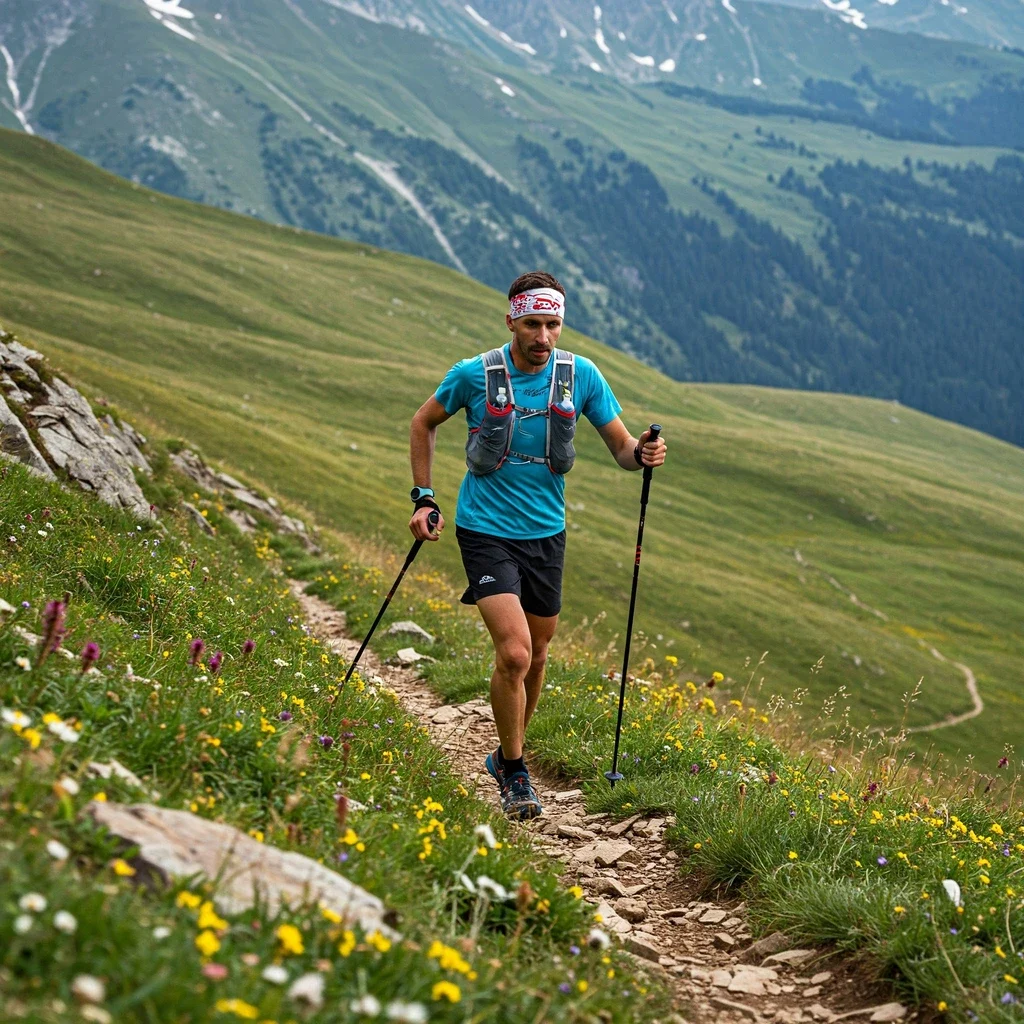
Higher up, the landscape opens onto the expansive alpine meadows of the yaylas. Trails here might be grassy paths connecting plateaus, sometimes crossing streams or wet ground.
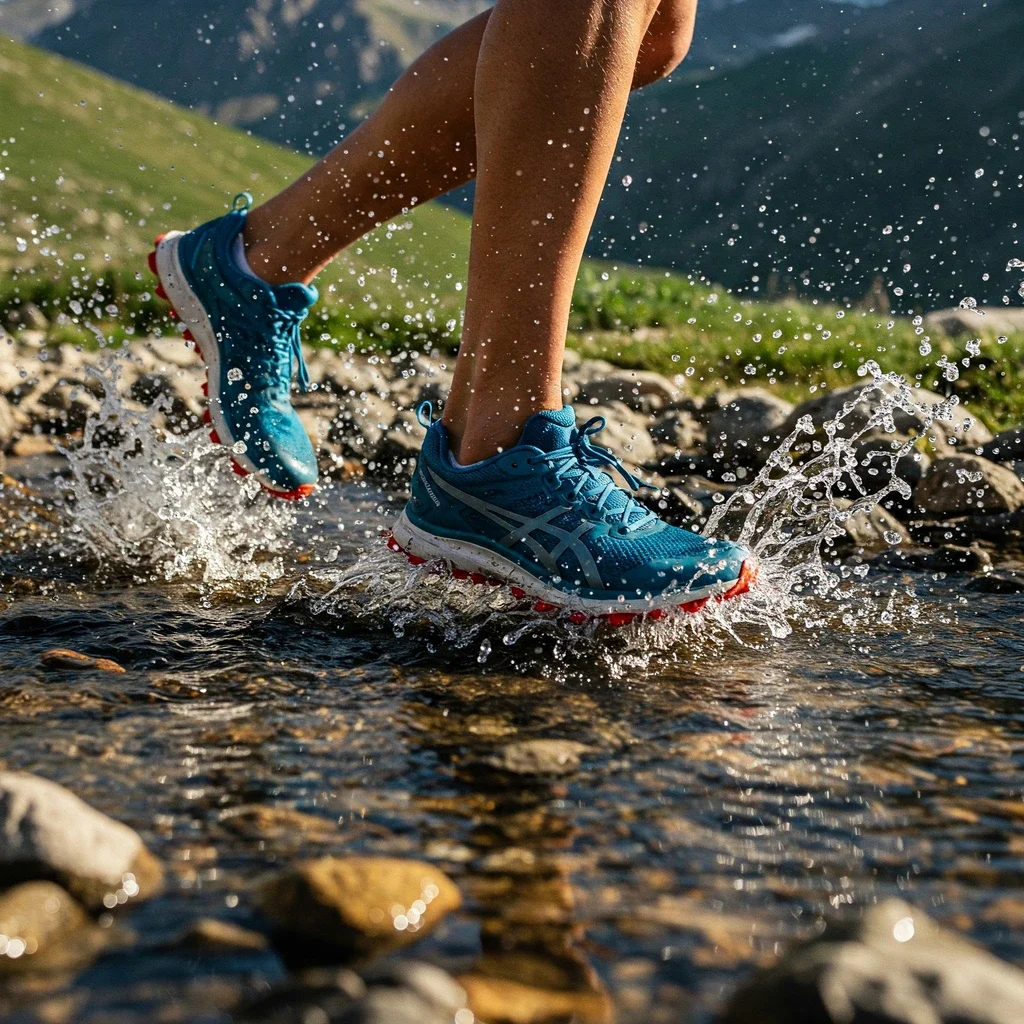
Above the treeline (roughly 2100m), you enter the realm of technical alpine trails. This can range from distinct single track to indistinct routes across rocky ground, challenging scree slopes (loose rock known as çarşak), and exposed ridges demanding careful footing and balance. River crossings can also present significant obstacles, with water levels changing depending on rainfall and snowmelt.
1.3 Climate & Weather: The Defining Factor
While the main ultra running season falls between late June and late September, predictable weather is not a feature of the Kaçkar. Conditions are notoriously variable and can change with alarming speed.
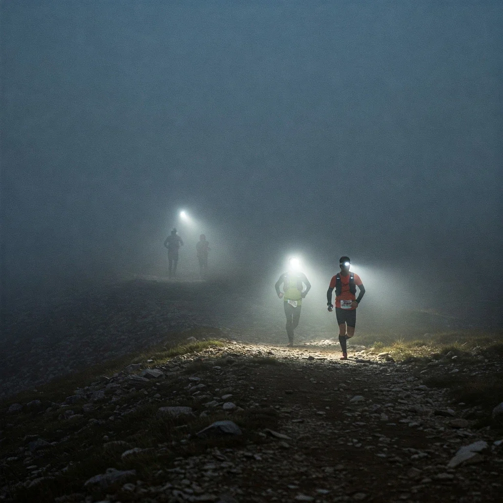
Runners must be prepared for a wide range of possibilities: brilliant sunshine, heavy rain, strong winds, and crucially, dense fog which can appear suddenly and dramatically reduce visibility, posing a significant navigational hazard. Even in summer, snow or hail is possible at higher elevations.
Temperatures fluctuate significantly with altitude and time of day. While lower valleys might be warm, higher elevations can be cool even in summer, with a real risk of freezing temperatures, especially at night or during bad weather spells.
1.4 Altitude: Running in Thin Air
The Kaçkar races involve significant time spent at high altitude. The base village of Ayder, where Kaçkar by UTMB® starts and finishes, sits around 1,350 meters (4,430 ft).
However, race courses quickly ascend, often spending considerable time above 2,000 meters (6,560 ft), with longer routes potentially pushing well beyond 3,000 meters (9,840 ft). This altitude presents a major physiological challenge due to the reduced oxygen availability, impacting performance and requiring specific acclimatization strategies (covered in detail in Chapter 5).
1.5 Flora & Fauna
The National Park boasts incredible biodiversity. You’ll run through ancient forests and across alpine meadows bursting with unique plant life, including endemic species and vibrant rhododendrons (known locally as komar).
The mountains are also home to diverse wildlife. While direct encounters during a race are uncommon, be aware of the potential presence of:
- Brown bears
- Wild goats (Ibex)
- Wolves
- Wild boar
- Various birds of prey, including eagles and hawks
Making noise occasionally on less-travelled trails can help avoid surprising wildlife. Near villages or shepherd huts, be cautious of potentially protective shepherd dogs. Adhering to Leave No Trace principles is vital to protect this precious ecosystem.
1.6 Cultural Landscape
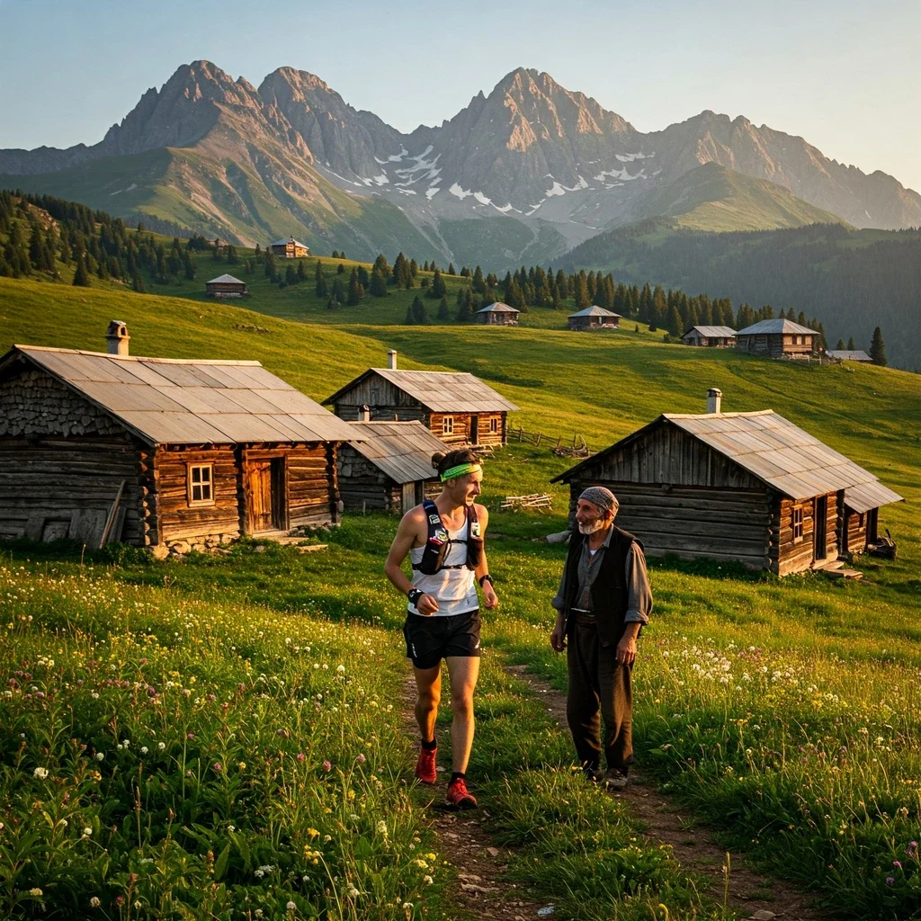
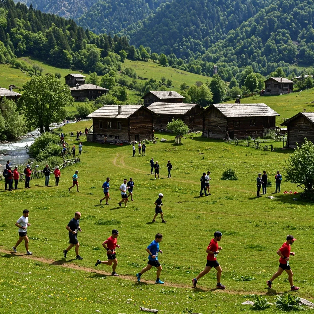
The Kaçkar Mountains are not just a wilderness; they are steeped in the traditions of yayla culture. For centuries, local communities have practiced transhumance, moving livestock to high pastures during summer. You’ll run past traditional wooden houses and witness remnants of this pastoral lifestyle.
The region is home to distinct local communities, including the Hemshin and Laz peoples, each contributing to the area’s unique cultural fabric, including its distinct and hearty cuisine – a taste of which adds another dimension to the Kaçkar experience.
Chapter 2: The Races of the Kaçkar – Organized Challenges
The Kaçkar Mountains offer incredible opportunities for trail running adventures, but for those seeking organized events, the scene is distinct and evolving. This chapter of our Kaçkar Mountains Running Guide focuses on the primary races that define Ultra Running Kaçkar Mountains.
2.1 The Evolving Race Scene
Historically, the Kaçkar Ultra Maratonu (also known as Kaçkar Ultra Trail) was the flagship event. However, the arrival of the globally recognized UTMB® World Series has significantly reshaped the landscape for Kaçkar Mountains Trail Running.
This shift brings increased international attention but also changes the dynamics for local runners and the original event’s future. Understanding both key races is essential for planning your trip.
2.2 Kaçkar by UTMB®
As the official UTMB® World Series event in Turkey, Kaçkar by UTMB positions the region firmly on the international trail running map. The inaugural event is scheduled for September 26-28, 2025, with Ayder Yaylası serving as the central race hub for all starts and finishes.
This event offers runners the chance to earn Running Stones for the UTMB World Series Finals lottery in Chamonix. It provides a structured race experience within the stunning but challenging terrain suitable for Running in Kaçkar National Park.
The race categories offered are:
- KAÇKAR 100K: Approximately 76 km distance with a massive 5900 m+ elevation gain. Offers 3 Running Stones. Maximum time: 22 hours.
- KAÇKAR 50K: Approximately 43 km distance with 3165 m+ elevation gain. Offers 2 Running Stones. Maximum time: 11 hours 30 minutes.
- KAÇKAR 20K: Approximately 22 km distance with 1300 m+ elevation gain. Offers 1 Running Stone. Maximum time: 6 hours.
Courses promise to explore ancient shepherd paths, high yaylas like Hazindak and Samistal, forests, valleys, and potentially reach above the clouds, showcasing the dramatic beauty of the Kaçkar. Detailed routes and GPX files are typically available on the official event website.
2.3 Kaçkar Ultra Maratonu / Trail (Alper Dalkılıç’s Race)
The original Kaçkar Ultra Maratonu, organized by experienced ultra runner Alper Dalkılıç, holds significant historical importance. Since around 2015, it fostered a strong community spirit, often based out of the village of Çinçiva (Şenyuva).
Past editions typically offered distances around 15K and 45-55K, traversing iconic local trails through *yaylas* like Sal, Pokut, and Hazindak. It was known for its grassroots feel and challenging courses.
Following the announcement of Kaçkar by UTMB, the future format or continuation of this original event is currently uncertain. Prospective runners interested in this race should monitor its official website (ultrakackar.com) for any updates.
2.4 Clarifying “Trans Kaçkar”
It’s important to note that “Trans Kaçkar” does not refer to a competitive ultra marathon race. This term primarily describes multi-day trekking or mountaineering routes that traverse the main Kaçkar range, often linking northern and southern valleys or various *yaylas*.
While some segments might be runnable for highly experienced individuals undertaking independent challenges, it is fundamentally a different type of activity with different logistical and skill requirements compared to the organized races.
2.5 Other Running Opportunities
Currently, beyond the two main events detailed above, there are no other regularly organized, large-scale ultra or trail running races identified specifically within the boundaries of the Kaçkar Mountains National Park.
The park offers vast potential for independent Kaçkar Mountains Trail Running adventures, but these require a high degree of self-sufficiency, navigation skill, and careful planning, as detailed in subsequent chapters of this guide.
Chapter 3: Trails, Routes & Navigation: Finding Your Way
Successfully navigating the rugged beauty of the Kaçkar is fundamental to any enjoyable and safe run. This part of the Kaçkar Mountains Running Guide explores the known race routes and potential independent options, highlighting the critical importance of wayfinding skills and tools for Kaçkar Mountains Trail Running.
3.1 Kaçkar by UTMB® Routes In-Depth
The Kaçkar by UTMB event provides clearly defined and marked routes for its various distances. These courses are designed to showcase the spectacular scenery while offering significant challenges in terms of elevation and technicality.
Detailed course maps, elevation profiles, and crucial GPX files for the 100K (76km), 50K (43km), and 20K (22km) races are made available on the official event website. Studying these resources is the first step in preparing for the specific demands of each distance, including identifying major climbs, descents, technical sections, and aid station locations. Remember the high “km-effort” calculation for these races indicates a difficulty far exceeding the raw distance suggests.
3.2 Beyond Race Routes: Independent Running (Advanced/Expert Only)
While the organized races offer supported challenges, the vast network of trails in the Kaçkar presents possibilities for independent adventures. However, venturing off the marked race routes requires a significantly higher level of experience, planning, and self-sufficiency.
Crucial Warning: Routes outside the main organized races, particularly summit attempts or Trans-Kaçkar segments, involve serious objective hazards and may require mountaineering skills and equipment (like helmets) beyond standard Ultra Running Kaçkar Mountains gear. These are not typical trail running routes and should only be attempted by highly experienced individuals with proven mountain sense, navigation expertise, and appropriate preparation.
- Kaçkar Summit Routes: Paths like the North or South Classic routes to the main peak involve scrambling (using hands), exposure to heights, and significant rockfall danger. They are primarily mountaineering objectives.
- Trans-Kaçkar Segments: Linking high mountain passes and yaylas can offer incredible point-to-point runs, but feasibility depends heavily on the specific pass chosen (some are highly technical). Expert navigation and complete self-sufficiency are mandatory. Resources like the Culture Routes Society may offer GPS points upon request for established trekking routes.
- Old Race Routes: While GPX tracks from past Kaçkar Ultra events might exist, rely on them with extreme caution. Markings are likely absent or faded, and trail conditions may have changed significantly. Traditional paths are known to be disappearing due to disuse or new road construction. Always verify information with recent sources.
3.3 Trail Marking Systems
Trail marking standards vary considerably across the Kaçkar range.
- UTMB Standard: For the Kaçkar by UTMB races, expect frequent and visible markings like flags, reflective tape, and temporary paint, adhering to international standards.
- Traditional Markers: On many other trekking and traditional routes, the primary marking system relies on stone cairns, locally known as babalar. These can be infrequent, easily damaged, hard to spot in fog or snow, or confused with natural rock piles. Older paint blazes may exist but are often faded.
- Signposts: These are generally rare and typically found only at major trail junctions or village access points.
Relying solely on trail markings for navigation, especially outside of the UTMB event, is strongly discouraged.
3.4 Navigation: The Critical Skill
Effective navigation is arguably the most crucial skill for safe Running in Kaçkar National Park, especially given the common challenges:
- Dense Fog: The primary navigation hazard. Visibility can drop to near zero with little warning, making visual wayfinding impossible.
- Complex Terrain: Open plateaus, indistinct alpine zones, and scree fields can make following a path difficult even in clear conditions. Multiple trail junctions can add to the confusion.
- Variable Markings: As noted above, markings outside major races can be unreliable or non-existent.
3.5 Essential Skills & Tools
Given the navigational challenges, specific skills and tools are indispensable:
- GPS Device/Watch: This is your primary navigation tool. It MUST have the intended route preloaded as a GPX track. Ensure you know how to use its navigation features effectively (following track, checking off-course alerts) and manage battery life (carry a power bank).
- Map & Compass: Essential backup tools and skills. Learn how to read a detailed topographic map of the area and use a compass for basic orientation, especially if electronic devices fail.
- Route Finding Experience: The ability to read the terrain, anticipate the likely direction of a trail, and make informed decisions when markings or paths disappear is vital. This comes with experience in mountainous environments.
3.6 Finding GPX Data
Acquiring reliable GPX tracks is key for planning and navigation:
- Official Race Websites: The definitive source for current Kaçkar by UTMB routes.
- Community Platforms: Sites like Wikiloc, Komoot, AllTrails, and Strava may contain tracks shared by other users. Use with caution! Always verify the source, date, activity type (hiking tracks may not be ideal for running), and compare against maps.
- Specialist Sources: Trekking company sites, mountaineering forums (like kackar.org for summit routes), or organizations like the Culture Routes Society might offer specific data, sometimes upon request.
Remember, downloading a track is only the first step. Verification is key. Visually review the track on a map, check the elevation profile, and look for any recent reports or comments regarding the route’s condition before relying on it in the field.
Chapter 4: Gearing Up: Equipping for the Extremes
Having the right equipment is not just about comfort or performance when undertaking Ultra Running Kaçkar Mountains; it’s about safety and survival. The unique combination of high altitude, rapidly changing weather, technical terrain, and remoteness makes specific gear absolutely non-negotiable.
4.1 Why Specific Gear is Non-Negotiable
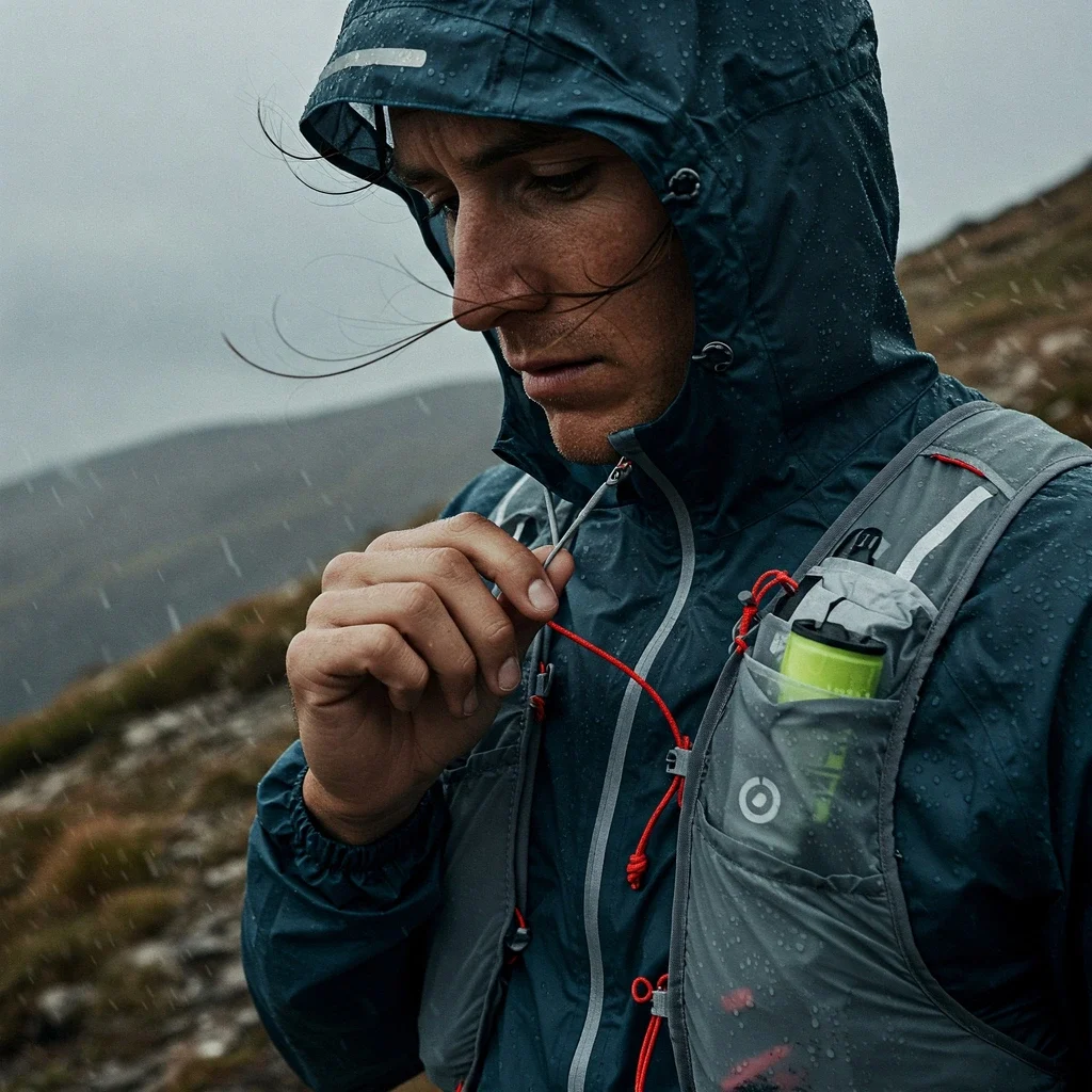
Unlike road races or less demanding trail events, conditions in the Kaçkar Mountains can shift dramatically. A sunny start can turn into a cold, foggy, or rain-lashed struggle hours later. Being caught unprepared at altitude without adequate protection can quickly lead to dangerous situations like hypothermia or getting lost.
Furthermore, organized races like Kaçkar by UTMB have strict mandatory gear lists enforced with time penalties or disqualification. These lists are based on experience and designed to ensure runners have the minimum required equipment to handle potential emergencies and stay safe between aid stations, reflecting the self-sufficiency needed for Running in Kaçkar National Park‘s challenging environment. Cutting corners on gear is simply not an option here.
4.2 Mandatory Gear Deep Dive
Mandatory gear lists vary slightly between races and distances, reflecting the duration and potential conditions runners might face. Below is a comparison based on recent requirements for the main Kaçkar events (always check the official race website for the most current list for your specific event).
| Equipment Item | Kaçkar Ultra 55K (Historical Example) | Kaçkar by UTMB 100K/50K | Kaçkar by UTMB 20K | Purpose / Notes |
|---|---|---|---|---|
| Trail Running Shoes | Required | Required | Required | Closed-toe, good grip essential. |
| Running Pack/Vest | Required | Required | Required | To carry all mandatory gear. |
| Mobile Phone | Required | Required (w/ LiveRun App, Roaming) | Required (w/ LiveRun App, Roaming) | Emergency communication, race tracking. Keep charged! |
| Personal ID | Required | Required | Required | Passport or National ID Card. |
| Water Capacity (Min.) | 1 Liter | 2 Liters | 500 ml | Hydration between aid stations. Bottles/flasks/bladder. |
| Personal Cup (Reusable) | Required | Required (Min 150ml) | Required (Min 150ml) | No cups at aid stations (environmental rule). |
| Food Reserve | 5 Hours Worth | 800 kcal Minimum | Not Specified | Emergency energy supply. |
| Headlamp(s) + Spare Batteries | 1 Required | 2 Required | Maybe Optional (Check Rules) | Essential for night running or poor visibility. Redundancy needed for long races. |
| Waterproof Jacket (Hooded) | Required (Hooded) | Required (Hooded, Min 10k rating) | Maybe Optional (Check Rules) | Protection from rain/wind, vital for preventing hypothermia. |
| Warm Mid-Layer | Required (Long Sleeve Base) | Required (Long Sleeve) | Maybe Optional (Check Rules) | Insulation for cold conditions (fleece or similar, non-cotton). |
| Waterproof Trousers | Not specified | Required | Maybe Optional (Check Rules) | Lower body protection from rain/wind. |
| Long Running Leggings/Tights OR Leggings + Long Socks | Not specified | Required (Full leg cover) | Maybe Optional (Check Rules) | Full leg coverage required for longer UTMB races. |
| Hat / Buff® / Bandana | Required (One type) | Required | Required | Sun/cold protection for head/neck. |
| Warm & Waterproof Gloves | Required | Required | Maybe Optional (Check Rules) | Hand protection from cold/wet. |
| Survival Blanket | Required | Required (Min 1.4m x 2m) | Required (Min 1.4m x 2m) | Emergency thermal protection. |
| Whistle | Required | Required | Required | Signaling device for emergencies. |
| Self-Adhesive Elastic Bandage | Not specified | Required (Min 100x6cm) | Maybe Optional (Check Rules) | For strapping/bandaging injuries. |
| Bowl & Utensils (BYOU) | Not required | Required | Required | For eating soup/hot food at UTMB aid stations. |
| Reflective Clothing/Vest | Not specified | Required | Maybe Optional (Check Rules) | Night visibility for UTMB races. |
4.3 Recommended Gear (Beyond Mandatory)
While the mandatory list covers survival minimums, experienced runners often carry additional items for enhanced performance, comfort, and safety margins during Kaçkar Mountains Trail Running:
- GPS Watch/Device: Highly recommended for navigation, especially in fog or off the main race route. Ensure the track is preloaded.
- Running Poles: Can significantly aid on steep climbs and provide stability on descents. Practice using them is essential. Check race rules regarding their use.
- Gaiters: Keep rocks, mud, and snow out of your shoes.
- Sunscreen & Sunglasses: High altitude UV is strong, even on cloudy days.
- Expanded First-Aid Kit: Include blister treatment (tape, pads), pain relief, antiseptic wipes, and any personal medications.
- Water Filter/Purification Tablets: Crucial backup for refilling from natural sources if needed between aid stations or on independent runs.
- Extra Layers: Depending on the forecast, an additional warm layer or windproof vest might be wise.
- Helmet: ONLY recommended for specific, high-risk independent routes involving scrambling or high rockfall potential (e.g., summit attempts) – not for standard race participation.
4.4 Smart Gear Choices for Kaçkar
Selecting the right *type* of gear within the required categories is also important:
- Shoes: Look for deep, widely spaced lugs for grip on mud and rock. Good toe protection and a durable upper are essential. Consider the trade-offs between waterproof (Gore-Tex) membranes (keep water out initially but dry slowly) and more breathable, quick-draining shoes. Fit is paramount – test thoroughly on long runs.
- Layering System: Think adaptable. Choose moisture-wicking base layers (merino wool or synthetics), insulating mid-layers (fleece or lightweight synthetic puffy), and a reliable waterproof/windproof outer shell (jacket and potentially pants). Avoid cotton completely as it holds moisture and chills you quickly.
- Pack/Vest: Choose a running vest or pack that fits snugly without bouncing. Ensure it has enough volume for all your gear and allows easy access to water bottles/flasks, food, phone, and poles while on the move.
4.5 The Crucial Step: Test Your Gear Thoroughly!
This cannot be stressed enough. Before arriving in the Kaçkar, test every single piece of critical gear – especially shoes, pack, waterproofs, headlamp, and your nutrition plan – during long training runs that mimic race conditions (hills, technical terrain, varied weather, night running if applicable). Identifying issues like chafing, blisters, gear malfunctions, or discomfort during training allows you to fix them before they potentially ruin your race or compromise your safety. This step is as vital as any training run in this comprehensive Kaçkar Mountains Running Guide.
Chapter 5: Training for the Heights & Technicality
Successfully completing an Ultra Running Kaçkar Mountains event demands more than just general endurance. It requires dedicated preparation specifically tailored to the unique challenges of high altitude, significant vertical gain, and technical terrain. This chapter of the Kaçkar Mountains Running Guide outlines key training strategies.
5.1 Ultra Training Foundations
Any ultra marathon preparation builds on core principles. Gradually increasing weekly mileage (volume) allows your body to adapt. Balancing this with appropriate intensity (speed work, tempo runs) builds fitness, but avoid increasing both volume and intensity drastically at the same time to prevent injury.
Consistent long runs are crucial for building physical and mental endurance. Incorporating back-to-back long runs on weekends can simulate race fatigue. Equally important is recovery – adequate sleep, proper nutrition, and rest days allow your body to adapt and get stronger.
5.2 Kaçkar-Specific Training Focus
While the foundations are universal, specific training is needed for the demands of Kaçkar Mountains Trail Running:
- Vertical Gain (“Vert is King”): The Kaçkar routes feature relentless climbing and descending. Your training must include significant elevation gain. Incorporate hill repeats (short and steep, long and gradual), long mountain hikes/runs, and stair climbing. Tracking your weekly vertical gain is as important as tracking mileage.
- Technical Terrain Running: Practice running on surfaces similar to Kaçkar trails – rocky paths, rooty forest floors, potentially muddy or uneven ground. This builds ankle strength, balance, and confidence. Focus specifically on improving your technical downhill running skills.
- Power Hiking: Steep sections often require efficient hiking rather than running. Practice a strong power hike, engaging your glutes and core, both with and without poles if you plan to use them. Integrate this into your hill workouts and long runs.
5.3 Altitude Acclimatization: Respecting the Thin Air
One of the biggest hurdles when Running in Kaçkar National Park is the altitude. Reduced oxygen levels above 2,000 meters significantly impact performance, increasing heart and breathing rates for the same effort and making you feel tired more quickly. Proper altitude acclimatization is vital for both safety and performance.
The ideal acclimatization involves spending weeks at altitude, but for most travelling runners, this isn’t feasible. Key strategies include:
- Timing of Arrival: This is critical. Arriving 5-10 days before the race allows for some physiological adaptation and lets you get past the initial negative effects (headache, fatigue). Arriving less than 24 hours before the race is a secondary strategy, aiming to compete before the worst symptoms develop (but offers no adaptation benefit).
Important Timing Note: Avoid arriving 2-4 days before your race if possible. This period often coincides with the peak negative effects of altitude exposure before significant acclimatization occurs.
- Gradual Ascent (if arriving early): If you have more time, ascend gradually, increasing sleeping altitude slowly.
- Hydration & Nutrition: Drink plenty of fluids, as altitude increases dehydration risk. Ensure adequate iron levels *before* travelling (consult your doctor if needed) as iron is crucial for red blood cell production, a key long-term adaptation. Initially, your body may rely more heavily on carbohydrates.
- Initial Training Load: Upon arrival at altitude, significantly reduce training intensity and volume for the first few days. Listen to your body and focus on effort (RPE – Rate of Perceived Exertion) rather than pace. Pushing too hard too soon hinders adaptation and increases AMS risk.
5.4 Strength & Conditioning
Complement your running with strength work to handle the demands of mountain terrain and prevent injuries:
- Core Stability: Planks, bridges, and other exercises to strengthen your abdomen, back, and hips.
- Leg Strength: Squats, lunges, step-ups, and calf raises build power for climbs. Focus on eccentric strength (the lowering phase of movements) to prepare muscles for descents.
- Stability & Balance: Single-leg exercises and drills targeting hip abductors and ankle stabilizers improve control on technical trails.
Aim for 1-2 sessions per week, ensuring they don’t compromise your key running workouts.
5.5 Pole Training
If you plan to use running poles (highly recommended for many on Kaçkar terrain), integrate them into your training regularly. Practice efficient technique on both uphills (propulsion) and downhills (stability, braking). Get used to carrying them and deploying/stowing them quickly.
5.6 Nutrition & Hydration Strategy
Fueling correctly during a long, high-altitude mountain race is critical. Energy demands are high.
- Energy Intake: Aim for a consistent hourly intake of calories, primarily from carbohydrates (e.g., 30-90 grams per hour, depending on duration and individual tolerance).
- Hydration: Drink regularly, aiming for around 400-800ml per hour (adjust based on conditions). Include electrolytes (especially sodium) to replace salts lost through sweat.
- Logistics: Plan for potentially long gaps between aid stations on Kaçkar routes. Carry enough fuel and water capacity to cover these sections, plus a buffer for unexpected delays.
Practice, Practice, Practice: The most crucial aspect is to practice your *exact* race fueling and hydration strategy during your long training runs. Use the same gels, bars, drinks, and foods you plan to use on race day to ensure your stomach can handle them under exertion. Never try anything new on race day!
5.7 Mental Fortitude: The Inner Game
Ultra Running Kaçkar Mountains is as much a mental battle as a physical one. Prepare for tough moments and develop strategies to overcome them:
- Accept the Challenge: Know that it will be hard, your pace will be slower due to altitude and terrain, and you will experience discomfort.
- Pacing: Start conservatively – slower than you think you need to. Running by effort (RPE) is key at altitude.
- Break it Down: Focus on reaching the next aid station, the top of the next climb, or simply the next trail marker.
- Positive Mindset: Use positive self-talk, visualization, and focus on the incredible surroundings when things get tough.
- Adaptability: Be ready to adjust your plan based on how you feel and changing weather conditions. Problem-solve issues as they arise.
Developing mental resilience during training is essential for pushing through the inevitable low points during a race like Kaçkar by UTMB or other demanding runs in the region.
Chapter 6: Staying Safe: Health, Hazards & Emergency Planning
The wild beauty of the Kaçkar Mountains comes with inherent risks. Safety should be the top priority for anyone undertaking Ultra Running Kaçkar Mountains. This chapter of the Kaçkar Mountains Running Guide covers potential hazards, health concerns like altitude sickness and hypothermia, and essential emergency preparedness for runners.
6.1 Key Mountain Hazards in Kaçkar
Beyond the general challenges of endurance running, be aware of specific hazards prevalent in this environment:
- Weather Hazards: Rapidly descending fog causing disorientation, sudden storms bringing heavy rain, wind, lightning (especially on exposed ridges), and potential for snow/hail leading to hypothermia or slippery conditions.
- Terrain Hazards: Slips and falls on steep, technical, wet, or loose trails (çarşak) are a major risk, especially during descents when fatigued. Objective hazards like rockfall exist on steeper slopes (relevant for off-trail/summit routes). River crossings can be dangerous depending on depth and current.
- Navigation Errors: Getting lost, particularly in fog or darkness, can quickly lead to dangerous situations involving exposure and extended time outdoors without support.
- Wildlife Encounters: While less common, be aware of potential encounters with bears. More likely near villages or flocks are potentially aggressive shepherd dogs – give them a wide berth.
6.2 Altitude Sickness (AMS, HAPE, HACE)
Insufficient acclimatization to the high elevations encountered during Kaçkar Mountains Trail Running can lead to altitude sickness. Fitness level does not protect against it. Recognizing the symptoms early is key.
-
Acute Mountain Sickness (AMS): The most common form. Symptoms usually appear 6-12 hours after ascent above 2,500m and include headache plus one or more of: nausea/vomiting, fatigue/weakness, dizziness, difficulty sleeping.
- Field Management: STOP ascending. Rest. Hydrate. Over-the-counter pain relief for headache. Symptoms usually resolve in 24-48 hours with rest at the same altitude. Do not ascend further until symptoms are completely gone. If symptoms worsen or don’t improve, descend.
-
High Altitude Pulmonary Edema (HAPE): Fluid build-up in the lungs. Life-threatening and can develop quickly (often within 2-5 days at altitude). This is the most common cause of death from altitude illness.
- Recognition (Red Flags): Extreme fatigue/performance drop (key early sign!), severe breathlessness AT REST, persistent cough (may become wet/frothy/pink), chest tightness, gurgling sounds, blue lips/nails (cyanosis).
- Field Management: IMMEDIATE DESCENT is mandatory and life-saving! Descend at least 300-1000 meters or until symptoms resolve. Minimize exertion during descent. Seek urgent medical help.
-
High Altitude Cerebral Edema (HACE): Swelling of the brain. The most severe form, a critical medical emergency, often developing from worsening AMS.
- Recognition (Red Flags): Severe headache unresponsive to pain relief, loss of coordination (ataxia – inability to walk heel-to-toe in a straight line), confusion, altered mental state, lethargy, irrational behavior, hallucinations.
- Field Management: IMMEDIATE DESCENT is mandatory and life-saving! Requires urgent medical evacuation.
Key Distinction: While mild AMS symptoms are common, severe breathlessness *at rest* (HAPE) or ataxia/confusion (HACE) are critical red flags requiring immediate descent.
6.3 Hypothermia
A dangerous drop in core body temperature (below 35°C / 95°F), hypothermia is a significant risk in the Kaçkar due to potential cold, wind, and wet conditions, exacerbated by runner fatigue. Getting wet dramatically increases heat loss.
-
Recognition:
- Mild: Controllable shivering, feeling cold, numb hands, clumsiness, possible mild confusion or apathy.
- Moderate: Shivering may stop or become uncontrollable/violent. Increased confusion, slurred speech, poor coordination, drowsiness, irrational behavior (like paradoxical undressing).
- Severe: Unconsciousness or semi-consciousness, muscle rigidity, faint or undetectable pulse/breathing.
-
Field Management:
- PRIORITY: Prevent further heat loss. Get the person out of wind/rain/cold. Gently remove wet clothing and replace with dry layers (including headwear). Insulate from the ground. Handle gently, especially in moderate/severe cases.
- Mild: Encourage gentle movement if possible. Give warm, sweet drinks (no alcohol) and high-energy food. Apply external heat (warm water bottles, body heat) to the core (chest, neck, groin).
- Moderate/Severe: Gentle handling is crucial. Passive rewarming (insulation) plus gentle active external rewarming to the core. Cessation of shivering is a critical danger sign indicating worsening condition. Seek urgent medical help/evacuation. If no signs of life after a full minute check, start CPR if trained (remember: “not dead until warm and dead”).
6.4 Water Safety
While streams and springs are abundant in the Kaçkar, assuming the water is safe to drink untreated is risky. Contamination from livestock (common on the yaylas) or wildlife is always possible.
To prevent waterborne illnesses (like Giardia), it is essential to treat ALL natural water sources before drinking. Use a reliable water filter (e.g., Sawyer Squeeze, BeFree) or chemical purification methods (chlorine dioxide tablets/drops). Do not rely on water appearing clear.
6.5 Emergency Procedures & Communication
Your safety plan depends on whether you’re in an organized race like Kaçkar by UTMB or running independently.
- Race vs. Independent: Races provide medical teams, aid stations, communication protocols, and sweepers. Independent runners must be entirely self-sufficient and prepared to handle emergencies alone or wait potentially long periods for help.
- Communication is Critical: Standard mobile phone coverage is highly unreliable or non-existent in large parts of the Kaçkar mountains, especially in high valleys and remote areas. Do NOT rely on your mobile phone as your sole means of emergency communication.
- For safety during any serious Running in Kaçkar National Park, especially independent trips or even as a backup during races, carrying a satellite communication device (e.g., Garmin inReach, SPOT) with SOS functionality is strongly recommended.
- Key Contacts: Know the universal European emergency number 112. For races, carry the specific Race HQ emergency number provided by the organizer. Inform a reliable contact back home of your detailed route plan and expected check-in times. Know basic first aid.
- Getting Help: If facing a serious emergency, activate your SOS device or call 112 / Race HQ if you have signal. Provide your precise location (GPS coordinates if possible), the nature of the emergency, number of people involved, and your condition. If lost and unable to self-rescue safely, stay put in a visible, sheltered location and use your whistle/light to signal.
Chapter 7: Logistics: Travel, Accommodation, Food & Rules
Planning the practical aspects of your trip is just as important as your physical training for Ultra Running Kaçkar Mountains. This chapter of the Kaçkar Mountains Running Guide covers the essential logistics: how to get there, where to stay, what to eat, and the rules you need to follow.
7.1 Getting There: Reaching the Kaçkar Trailheads
Accessing the main starting points for Kaçkar Mountains Trail Running typically involves flying into a regional airport followed by ground transportation.
-
Airports:
- Rize-Artvin Airport (RZV): The closest airport, offering the most direct access to Çamlıhemşin and Ayder (~50km). Flight connections are primarily domestic via Istanbul or Ankara.
- Trabzon Airport (TZX): A larger airport with more domestic and some international flights, but requires a longer ground transfer (~155km, approx. 2.5-3.5 hours) to Ayder/Çamlıhemşin.
- Erzurum Airport (ERZ): A good option if accessing the southern trailheads via Yusufeli.
- Batumi Airport (BUS, Georgia): An international alternative, requiring a border crossing but potentially convenient depending on flight origins.
-
Ground Transport:
- Airport Shuttles (Havaş / Private): Connect RZV and TZX to major towns like Rize, Pazar, or Ardeşen, where you can switch to local transport.
- Dolmuş (Local Minibuses): The primary way to reach specific valleys and trailheads from towns like Pazar, Ardeşen, Çamlıhemşin, or Yusufeli. Key routes include Pazar/Ardeşen to Çamlıhemşin/Ayder, Ayder to Yukarı Kavron (seasonal/limited), and Yusufeli to Yaylalar/Olgunlar. Be aware that schedules can be infrequent, often with one morning departure and one afternoon return.
- Taxi / Private Transfer: Offers convenience but is significantly more expensive. Agree on fares beforehand.
- Car Rental: Provides flexibility, but be prepared for narrow, winding mountain roads. A 4×4 vehicle might be necessary for accessing some higher yayla roads, which may be unpaved or rough.
7.2 Accommodation Deep Dive: Where to Stay
Finding the right base camp is crucial for your Kaçkar adventure. Accommodation options vary significantly depending on the area. (Based on extensive research, including the detailed Rize Accommodation document provided earlier).
-
Key Hubs:
- Ayder Yaylası: The main tourist hub and race center for Kaçkar by UTMB. Offers the widest variety of hotels, resorts, pensions, and bungalows. Convenient for race logistics and access to thermal springs, but can be crowded and pricier.
- Çamlıhemşin & Fırtına Valley: The ilçe (district) center and the stunning valley it sits in. Known for charming bungalows and dağ evleri (mountain houses), often featuring jacuzzis or fireplaces. Offers potentially quieter spots than Ayder, good base for exploring the valley.
- Higher Yaylas (e.g., Yukarı Kavron, Olgunlar): Offer more basic accommodation (pansiyon – guesthouses, limited camping). Strategically important for accessing specific high mountain trails and summit routes, but services are minimal.
-
Types of Accommodation:
- Hotels & Resorts: More common in Ayder, ranging from simple to luxury.
- Bungalows & Dağ Evleri: Very popular throughout Çamlıhemşin and Fırtına Valley, often wooden structures focused on views and atmosphere, sometimes with special features (jacuzzi, fireplace, dome shape).
- Pansiyon (Guesthouses): More basic, family-run options found in villages and some yaylas like Olgunlar.
- Apart Hotels / Villas: Self-catering options, available mainly in Ayder.
- Camping: Designated campsites exist (e.g., near Ayder, Yukarı Kavron, Dilberdüzü), but facilities vary greatly (some have none). Dispersed camping might be possible following Leave No Trace principles but check local regulations.
Booking Advice: Accommodation, especially in Ayder and popular Fırtına Valley spots, should be booked well in advance, particularly during peak summer season (July-August) and around major race dates. Use online platforms but also consider contacting pensions or smaller places directly. Read recent reviews for insights on location, noise, and amenities.
7.3 Food, Resupply & A Taste of Kaçkar
Fueling your run and experiencing local flavors are key parts of the trip.
- In Towns/Villages: Restaurants (lokanta) and markets are available in main centers like Ayder, Çamlıhemşin, and Yusufeli, offering meals and basic supplies.
- On the Trail (Independent Runners): Resupply options in higher, remote yaylas are extremely limited or non-existent. Some pensions *might* offer simple meals during peak season, but this cannot be relied upon. You must carry sufficient food for the duration between reliable resupply points. Self-sufficiency is paramount.
- Water Resupply: As covered in Chapter 6, natural water sources are plentiful but must be treated (filtered or purified) before drinking. Carry adequate water capacity and your chosen treatment method.
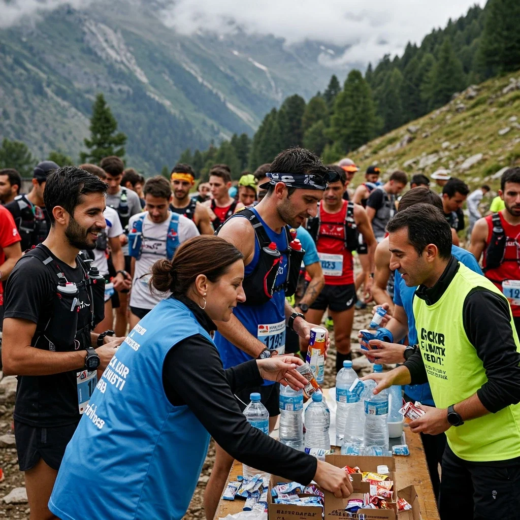
- Race Aid Stations: Organized events like Kaçkar by UTMB provide aid stations with typical ultra-running fare (water, electrolytes, fruit, snacks, sometimes soup or warmer food). Check specific race details for what’s offered. Remember the BYOU (Bring Your Own Utensils) rule for UTMB events.
-
A Taste of Kaçkar (Local Cuisine): Don’t miss trying the unique Rize, Hemshin, and Laz cuisine! Look out for:
- Muhlama / Kuymak: A delicious, cheesy cornmeal fondue.
- Laz Böreği: A layered pastry, can be sweet or savory.
- Hamsili Ekmek: Cornbread baked with anchovies.
- Kara Lahana Sarması: Stuffed black cabbage rolls.
- Mısır Ekmeği: Local cornbread.
- Local cheeses (minzi, tulum), butter, and renowned honey.
7.4 Permits & Rules for Running in Kaçkar National Park
Respecting the regulations is essential for protecting the environment and ensuring continued access for activities like Kaçkar Mountains Trail Running.
- National Park Status: The Kaçkar Mountains are a protected National Park managed by the Directorate General for Nature Conservation and National Parks (DKMP).
- Permits for Organized Events: Races like Kaçkar by UTMB obtain the necessary permits from the authorities. Participants register through the event.
- Permits for Individuals: For independent running or hiking on marked trails, a specific ‘running permit’ does not seem to be required beyond paying the standard National Park entrance fee.
- Fees: Park entrance fees (per person, per vehicle) and potentially camping fees apply. Note: Research indicated inconsistencies and difficulty finding the specific, official 2025 fees for Kaçkar online. It is crucial to check the latest fees directly with official DKMP sources or the Kaçkar Mountains National Park Directorate before your visit. Do not rely on third-party website information for current pricing.
-
Key Park Rules:
- Stay on marked trails to minimize erosion and habitat disturbance.
- Practice Leave No Trace: Pack out everything you pack in. No littering.
- Do not feed or disturb wildlife. Do not pick plants.
- Camp only in designated areas where required/available, or follow dispersed camping ethics carefully.
- Observe fire restrictions (campfires often prohibited; use stoves).
- Respect local communities, culture, and private property.
- Drone usage is generally restricted or requires specific permits.
Adhering to these rules ensures a minimal impact on the sensitive environment and helps maintain positive relationships with park authorities and local communities.
Chapter 8: Conclusion: Embrace the Challenge, Respect the Mountains
The Kaçkar Mountains offer an unparalleled arena for the adventurous ultra runner. As detailed throughout this Kaçkar Mountains Running Guide, this region presents a unique tapestry woven from breathtaking natural beauty, demanding physical challenges, and rich cultural heritage.
8.1 Recap: The Kaçkar Experience
From the lush lower forests to the rugged alpine peaks often shrouded in mist, the environment itself is a defining feature of Ultra Running Kaçkar Mountains. We’ve explored the technical nature of the trails, the critical impact of high altitude, and the unpredictable, often harsh, weather patterns that demand respect and thorough preparation.
We delved into the organized race scene, highlighting the established Kaçkar Ultra Trail and the internationally significant Kaçkar by UTMB, alongside the important distinction of the non-competitive “Trans Kaçkar” trekking routes. Essential guidance on navigation, gear selection, specific training adaptations, crucial safety protocols for altitude and weather, and detailed logistics for travel and accommodation were provided to equip you for your journey.
8.2 Key Takeaways for Success & Safety
Successfully and safely navigating your Kaçkar Mountains Trail Running adventure hinges on several core principles:
- Meticulous Preparation: This includes targeted physical training (especially for vertical gain and technical terrain), appropriate altitude acclimatization strategies, well-tested gear suitable for severe conditions, and thorough logistical planning.
- Respect for the Environment: Acknowledge the power and unpredictability of the mountains. Understand the impacts of altitude and weather, and always prioritize safety over summit fever or race times. Follow Leave No Trace principles diligently while Running in Kaçkar National Park.
- Navigation Proficiency: Do not underestimate the navigational challenges, especially fog. Master your GPS device with preloaded tracks and maintain map and compass skills as essential backups.
- Safety First: Recognize the signs of altitude sickness and hypothermia. Carry mandatory gear and know how to use it. Have robust emergency communication plans, especially if running independently (satellite messenger highly recommended). Treat all water sources.
- Self-Sufficiency & Adaptability: Be prepared to manage challenges between aid stations or in remote areas. Maintain the mental fortitude to adapt your plans based on changing conditions or how you feel.
8.3 Your Kaçkar Adventure Awaits
Running in the Kaçkar Mountains is undoubtedly demanding, but the rewards are immense – stunning vistas, a profound connection with nature, and the deep satisfaction of testing your limits in a truly wild and special place. With careful planning, dedicated training, the right equipment, and unwavering respect for the mountains, you can embark on an unforgettable ultra running experience. Go prepared, run responsibly, and savor every moment of your adventure in the clouds.
Chapter 9: Appendix – Resources & Glossary
This final section of the Kaçkar Mountains Running Guide provides supplementary resources to aid your planning and understanding for Ultra Running Kaçkar Mountains adventures.
9.1 Glossary of Useful Turkish Terms
You might encounter these terms during your trip or research:
- Yayla
- High-altitude plateau or meadow, traditionally used for summer grazing.
- Çarşak
- Scree; an area of loose, broken rock fragments on a slope.
- Dolmuş
- Shared taxi or minibus operating on fixed routes, a common form of local transport.
- Pansiyon
- Guesthouse or simple inn, often family-run.
- Lokanta
- Traditional Turkish restaurant, often serving local home-style cooking.
- Muhlama / Kuymak
- A regional specialty dish made from cornmeal, butter, and local cheese (often stringy minzi cheese); similar to fondue.
- Dağ Evi
- Mountain house; often refers to wooden cabins or lodges used for accommodation.
- DKMP
- Doğa Koruma ve Milli Parklar Genel Müdürlüğü – The Directorate General for Nature Conservation and National Parks, the authority managing Running in Kaçkar National Park.
- Baba
- Stone cairn used as a traditional trail marker in the mountains.
9.2 Useful Contacts (Verify Before Travel)
Contact information can change. Always verify numbers before relying on them.
- Emergency Number (All Services): 112 (Valid throughout Turkey for Police, Ambulance, Fire, Jandarma, AFAD)
- Kaçkar by UTMB Race HQ: Check the official race website for the dedicated emergency contact number provided to participants.
- Kaçkar Mountains National Park Directorate (Kaçkar Dağları Milli Park Müdürlüğü): For specific park rule inquiries or current conditions/fees. (Search for current contact details via DKMP website or local listings).
- Local Jandarma (Gendarmerie): Responsible for rural area security and involved in search and rescue (via 112 or specific local numbers if known).
- AFAD (Disaster and Emergency Management Authority): Involved in major search and rescue operations (via 112 or specific provincial numbers if known).
- Your Embassy/Consulate: Keep their contact details handy in case of serious emergencies if you are an international visitor.
9.3 Sample Gear Checklist Template
This is a template based on Chapter 4. Adapt it to your specific race distance, expected weather, and personal needs. Always refer to the official mandatory gear list for your event.
- Running Wear: Shoes, socks (multiple pairs), shorts/tights, base layer shirt(s), mid-layer(s), waterproof jacket, waterproof pants.
- Navigation: GPS Watch (with course loaded), Power Bank, Map, Compass.
- Safety/Emergency: Headlamp (x1 or x2 + spare batteries), Survival Blanket, Whistle, Basic First Aid Kit (blisters, pain relief, antiseptic, bandages, personal meds), Satellite Messenger (recommended).
- Hydration: Pack/Vest, Bottles/Flasks/Bladder (minimum required capacity + buffer), Water Filter/Tablets.
- Nutrition: Race fuel (gels, bars, real food – practiced plan), Emergency food reserve.
- Comfort/Protection: Hat/Buff, Gloves (warm/waterproof), Sunglasses, Sunscreen, Gaiters (optional), Poles (optional).
- Race Specifics: ID, Phone (charged, emergency numbers saved), Race Bib, Timing Chip, Personal Cup, Bowl/Utensils (if required).
9.4 Useful Links & Resources
Planning your Kaçkar Mountains Trail Running adventure requires up-to-date information. We extend our gratitude to the official organizations and resources that provide valuable data for runners and visitors. Below are key links for the most current information regarding races, regulations, and conditions:
- Official Kaçkar by UTMB® Website: The primary source for all details regarding the UTMB World Series event in Kaçkar, including registration, rules, routes, and mandatory gear.
- Kaçkar Ultra Maratonu / Trail Website (Historical): Information regarding the original race organized by Alper Dalkılıç. (Note: Site status and updates may be infrequent or outdated following the introduction of the UTMB event).
- DKMP (Nature Conservation and National Parks) Website: The official Turkish government authority for national parks. Find general regulations, potentially park fee information (navigate to relevant sections), and contact details for Running in Kaçkar National Park queries. (Site primarily in Turkish).
- Turkish State Meteorological Service (MGM): Official source for general weather forecasts in Turkey. Check forecasts for Rize and nearby towns.
- Mountain-Forecast.com (Kaçkar Peak): A useful resource providing specific weather forecasts for higher elevations in the Kaçkar mountains. (Other similar mountain weather sites also exist).
- Rize Provincial Directorate of Culture and Tourism: Provides general tourism information about the Rize region, which may include updates relevant to visitors.
- UMIT.net: Your go-to resource for Ultra Marathon Information and Training!
Always double-check information directly via official channels, especially regarding fees, specific rules, and race details, as conditions and regulations can change. Safe running!
About the Author
Lost Pace is an ultramarathon runner, shoe-tester and the founder of umit.net. Based year-round in Türkiye’s rugged Kaçkar Mountains, he has logged 10,000 + km of technical trail running and completed multiple 50 K–100 K ultras.
Blending mountain grit with data, Lost analyses power (CP 300 W), HRV and nutrition to craft evidence-backed training plans. He has co-written 260 + long-form guides on footwear science, recovery and endurance nutrition, and is a regular beta-tester of AI-driven coaching tools.
When he isn’t chasing PRs or testing midsoles, you’ll find him sharing peer-reviewed research in plain English to help runners train smarter, stay healthier and finish stronger.
Ultrarunner · Data geek · Vegan athlete
