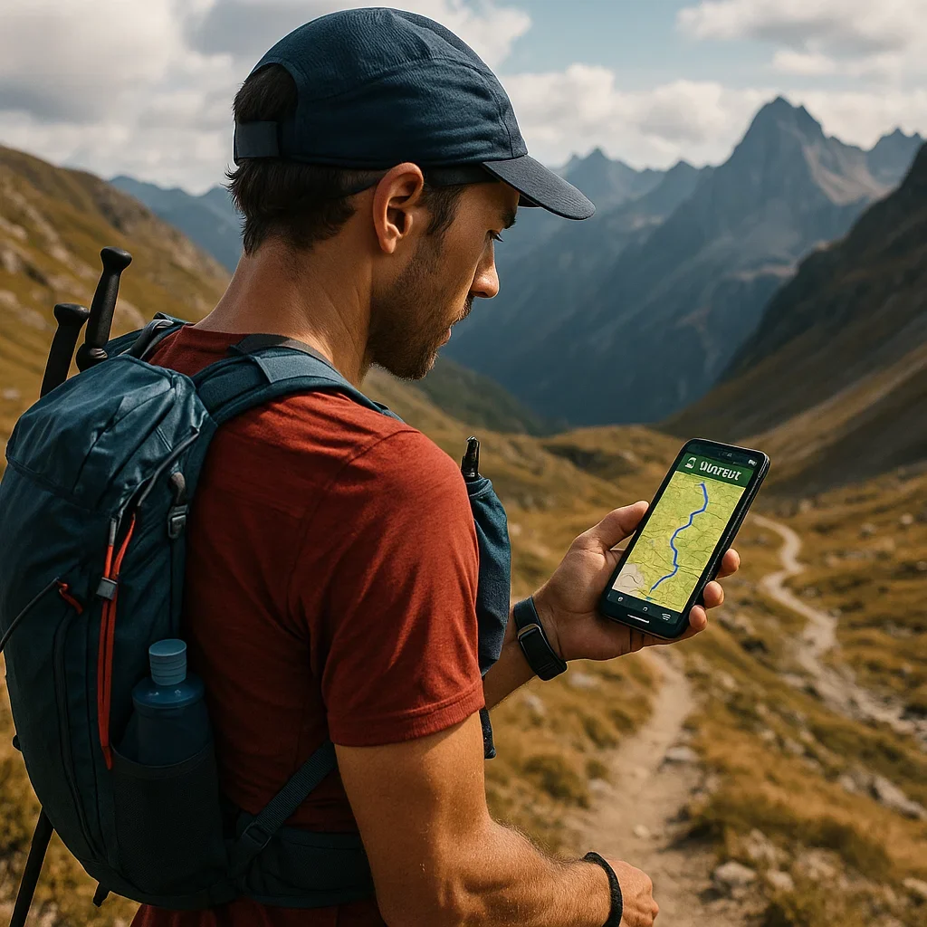
🛡️ Part 1: Why Trail Running Safety Needs an Upgrade in 2025
🌲 Running Farther, Running Riskier
Trail runners are going further, higher, and lonelier than ever before. Long gone are the days of marked 10K fun runs in city parks. Today’s runners are signing up for:
- Multi-day desert stage races
- 100-mile alpine ultras
- Fastpacking trips into the wild with no cell coverage
And with that freedom comes real risk.
In 2025, safety isn’t just about avoiding injury — it’s about having the tools to act when something goes wrong.
⚠️ Real Trail Dangers Runners Face
You don’t need to be in the Himalayas to need help. These are the common safety threats even weekend trail runners face:
- Losing the trail in fog, snow, or poorly marked terrain
- Falling or rolling an ankle in a remote section
- Heatstroke or hypothermia when weather turns
- Wildlife encounters or blocked paths
- Running out of daylight or food on longer efforts
What turns a bad situation into a disaster?
👉 Not having a way to communicate or be found.
📲 Why Traditional Safety Isn’t Enough Anymore
❌ “I told someone where I’m going…”
That’s a start — but plans change. You might take a wrong turn. You might go slower than expected. No one knows your real-time location.
❌ “I carry my phone.”
But do you have signal? Is your battery full? Can you unlock the screen with sweaty fingers or a cracked display?
❌ “I have a map and compass.”
Good! But what if you’re unconscious or disoriented? Who’s coming for you?
🧠 What’s Changed in 2025?
- More runners are going solo.
Strava and Instagram show thousands of solo summit attempts, long efforts, and isolated routes every week. - Climate is less predictable.
Flash storms, wildfire smoke, and extreme heat can hit even “safe” trails. - Wearables and satellite tech are cheaper.
GPS watches with live tracking or emergency alert features now cost less than many race entry fees. - Expectations have shifted.
Race directors, family, and fellow runners now expect you to be locatable.
🛰️ Safety Apps = Running Gear in 2025
Think of safety apps the same way you think of your:
- 🥾 Shoes
- 🎒 Vest
- 💧 Water
- 🍌 Fuel
- ⌚ GPS Watch
They’re not luxury items. They’re core gear — especially if you’re going longer than 2 hours, higher than 500m climb, or deeper than phone signal.
💡 The Safety App Categories to Know
In the next parts of this series, we’ll explore each category in detail. For now, here’s a sneak peek at the four main types of safety tools trail runners use in 2025:
| Tool Type | What It Does | Examples |
|---|---|---|
| Live Tracking | Shares your position in real-time | Strava Beacon, Garmin LiveTrack |
| SOS + Satellite | Sends emergency messages, even off-grid | inReach Mini, ZOLEO |
| Offline Navigation | Keeps you on route without signal | Komoot, Gaia GPS |
| Medical ID | Provides info if you’re unconscious | Road ID, Apple Medical ID |
📡 Part 2: Best Live Tracking and Emergency Apps for Trail Runners (2025 Edition)
🏃 Why Real-Time Tracking Matters More Than Ever
You’re 14K into a solo trail run. The forest thickens. No cell towers. You’re still okay — but what if you’re not?
This is where live tracking and emergency alert apps become your lifeline. Whether you’re doing long training runs, stage races, or solo adventures, being trackable is a game changer.
Let’s explore the best live tracking and emergency apps available in 2025 — and how they keep you connected even when the trails go silent.
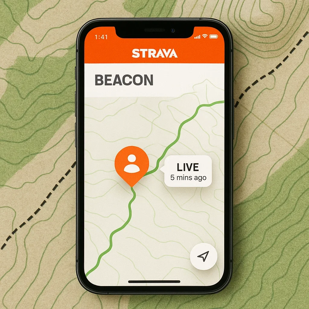
📱 1. Strava Beacon
Platform: iOS, Android, Garmin, Apple Watch
Price: Strava Subscription Required
🔍 What It Does:
- Shares your live location with a private link
- Runs in the background automatically
- Compatible with mobile and certain GPS watches
✅ Why Runners Love It:
- Lightweight & simple
- Easy to share with friends or loved ones
- Integrated into the Strava app you already use
🚨 Limitations:
- Needs cell signal to function
- No SOS or crash detection
- Not suitable for remote mountains
⌚ 2. Garmin LiveTrack & GroupTrack
Platform: Garmin GPS Watches
Price: Free with Garmin devices
🔍 What It Does:
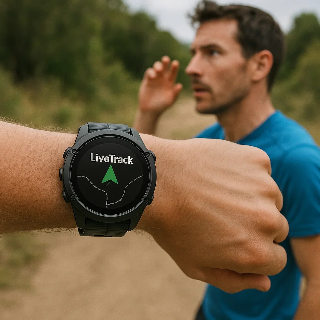
- Shares your GPS position in real time via Garmin Connect
- GroupTrack shows multiple runners on one map
- Can send start/stop alerts to contacts
✅ Why Runners Love It:
- Works seamlessly with your watch
- Great for tracking teammates in races
- Auto-starts with your run
🚨 Limitations:
- Requires a phone connected (unless you have LTE model)
- Can drain battery if left running too long
📲 3. Road ID App
Platform: iOS, Android, Wearables
Price: Free
🔍 What It Does:
- Emergency contact info on your lock screen
- Sends real-time location to friends
- Crash detection + inactivity alerts
- Optional physical ID badge for wrist/ankle
✅ Why Runners Love It:
- Works even if you’re unconscious
- Helps responders contact your family fast
- Doesn’t require expensive equipment
🚨 Limitations:
- Some features (like crash alerts) only available with premium
- Dependent on battery and signal
🍎 4. Apple Health + Emergency SOS
Platform: Apple Watch + iPhone
Price: Built-in
🔍 What It Does:
- Detects hard falls or sudden stops
- Calls emergency services automatically
- Notifies emergency contacts
- Location shared instantly
✅ Why Runners Love It:
- Fully automatic
- Zero setup once emergency contacts are added
- Fall detection is highly reliable
🚨 Limitations:
- Only available on Apple devices
- No satellite fallback
- Must be worn snugly to detect impact
🧭 Real Trail Scenarios
🎯 Scenario 1: “Your pace slows. You’re dizzy. You sit.”
→ Road ID detects inactivity → Sends alert to spouse → They see your pinned location.
🎯 Scenario 2: “You hit a root, roll downhill, blackout.”
→ Apple Watch triggers fall detection → Calls emergency services → Sends GPS to your contact.
🎯 Scenario 3: “You’re 3 hours into a forest loop. Your partner is anxious.”
→ Strava Beacon lets them see you’re moving, mile by mile.
📊 Feature Comparison Table
| Feature | Strava Beacon | Garmin LiveTrack | Road ID | Apple SOS |
|---|---|---|---|---|
| Live location sharing | ✅ | ✅ | ✅ | ✅ |
| Works with watch only | ❌ | ✅ (some models) | ✅ | ✅ |
| Fall/crash detection | ❌ | ❌ | ✅ | ✅ |
| Sends auto SOS | ❌ | ❌ | ✅ (premium) | ✅ |
| Satellite backup | ❌ | ❌ | ❌ | ❌ |
| Free to use | ❌ | ✅ | ✅ | ✅ |
🧠 Which One Should You Use?
Just getting started? → Try Road ID — free, easy, reliable.
Already use Strava? → Enable Beacon — simple integration.
Use Garmin gear? → LiveTrack is already on your wrist.
Apple user? → Set up Medical ID + Emergency SOS immediately.
And if you’re going deep into remote terrain… wait until Part 3. 😏,
🏕️ Part 3: Satellite Messengers & Offline Safety Tools for Remote Runs (2025 Edition)
🌄 When the Phone Bars Disappear…
You’re 62K into a mountain ultra. No reception, no markers, no spectators. You miss a turn and suddenly realize — you haven’t seen another runner in 30 minutes.
This is where satellite safety tools and offline navigation become more than cool gadgets — they become essential survival gear.
In this part, we’ll break down the most powerful tools for staying safe off-grid, even when cell towers vanish. Let’s get into it.
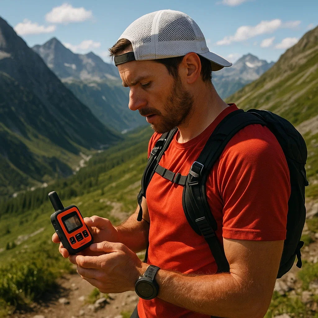
🛰️ 1. Garmin inReach Mini / inReach Mini 2
Platform: Standalone device (pair with phone or watch)
Subscription: Required (monthly or annual plans)
🔍 What It Does:
- Sends and receives satellite messages from anywhere
- Built-in SOS button connects to GEOS emergency response
- Shares your location with contacts online
- Can sync with Garmin watches for live tracking
✅ Why Runners Trust It:
- Global Iridium satellite coverage
- Rugged and tiny — fits in any vest
- Ideal for multi-day fastpacking, stage races, or solo ultras
🚨 Limitations:
- Expensive upfront and ongoing
- Setup and interface may feel technical at first
🛰️ 2. ZOLEO Satellite Communicator
Platform: Standalone (links to mobile app)
Subscription: Required
🔍 What It Does:
- Two-way messaging via satellite, cell, or Wi-Fi
- SOS function routed through Global Rescue
- Seamlessly switches between mobile signal and satellite
✅ Why Runners Love It:
- Clean, simple mobile interface
- Messages can include location + status
- Reliable in remote regions (high desert, alpine, backcountry)
🚨 Limitations:
- Not wearable; requires being powered on & carried
- No navigation maps built-in (messaging only)
🗺️ 3. Komoot Premium – Safety Layers & Offline Maps
Platform: iOS, Android, Web
Subscription: Required for Premium
🔍 What It Offers:
- Offline navigation maps with terrain info
- Trail difficulty color coding
- Highlighted rescue zones, huts, and dangerous areas
- Integrates with most GPS watches (Garmin, Suunto, Coros)
✅ Why Runners Use It:
- Excellent for pre-run planning
- Works without cell signal
- Visual overview of risky vs. runnable sections
🚨 Limitations:
- No SOS or emergency communication
- Premium features require payment
- Navigation depends on map accuracy (always test ahead)
🌐 4. What3Words – Pinpoint Accuracy Anywhere
Platform: iOS, Android, Web
Free? Yes ✅
🔍 What It Does:
- Divides the world into 3m squares, each labeled with three unique words
- Used globally by search & rescue teams
- Works offline once downloaded
✅ Why It’s Powerful:
- Easy to share your exact position, even if injured
- No need to describe terrain or coordinates
- Lightweight, zero learning curve
🚨 Limitations:
- Not a navigation tool (can’t guide you home)
- No live tracking or map overlays
🎯 Real-World Safety Scenarios
🧗 Scenario 1: “You’re in a canyon, no signal, twisted ankle.”
→ Pull out inReach Mini, press SOS.
→ It pings satellites, notifies rescue teams, sends your coordinates.
→ Live tracking begins automatically.
🧭 Scenario 2: “You’re lost at night, unsure which trail is correct.”
→ Open Komoot Premium.
→ Use the color-coded trail difficulty + topo overlays to reroute yourself safely.
→ Avoid high-risk zones and reconnect with the main trail.
🗨️ Scenario 3: “You want to check in mid-fastpack.”
→ Use ZOLEO to send a custom status message to your contact.
→ They know you’re okay, even 100km from the nearest village.
🧠 Which Tool Is Right for You?
| Goal | Best Tool |
|---|---|
| 100% global SOS messaging | Garmin inReach |
| Simpler, cheaper 2-way check-ins | ZOLEO |
| Visual trail planning | Komoot Premium |
| Exact location sharing | What3Words |
✅ Summary: Off-Grid Doesn’t Mean Off-Radar
In 2025, serious trail runners treat connectivity as a layer of safety — just like hydration, calories, or layers. Whether you’re planning a desert ultra or a foggy ridge line run, the tools are here to help you:
- Stay visible
- Be reachable
- Get rescued if necessary
Use them.
🧠 Part 4: How to Choose the Right Safety App for Your Running Style
🎯 One Size Doesn’t Fit All
There’s no “best safety app” — only the best for your trails, your device, and your style of running.
In this final part, we’ll help you create your personal trail safety setup based on four factors:
- Where you run 🌍
- What gear you use ⌚
- How far you go 🏃
- How much you want to spend 💰
🗺️ 1. Match Your Terrain
| Terrain Type | Recommended Tools |
|---|---|
| Urban / Local trails | Strava Beacon, Apple SOS, Road ID |
| Forested trail loop | Garmin LiveTrack, Komoot Offline, Road ID |
| Remote mountains | inReach Mini, Komoot Premium, What3Words |
| Multi-day fastpacking | ZOLEO, inReach, Komoot + Gaia GPS |
⌚ 2. Match Your Devices
| Device You Own | Best Options |
|---|---|
| Garmin watch | LiveTrack, inReach integration, Strava Beacon |
| Apple Watch | Apple Health SOS, Strava Beacon, Road ID |
| Android phone only | Komoot, Strava Beacon, What3Words |
| No smartphone, offline | inReach Mini, Komoot with downloaded maps |
🏃 3. Match Your Running Style
| Running Type | Suggested Safety Setup |
|---|---|
| Weekend long runs | Strava Beacon + Road ID |
| Solo tempo sessions | Apple SOS or Garmin LiveTrack |
| Group mountain days | GroupTrack + Komoot route sharing |
| Stage race or fastpack | ZOLEO / inReach + Komoot Premium + GPX Navigation |
💸 4. Match Your Budget
| Budget Level | Smart Setup Ideas |
|---|---|
| 💰 Free only | Road ID, What3Words, Strava free tier + map prints |
| 💳 Modest spend | Strava Premium + Komoot Region + Road ID badge (~$100/year) |
| 🪙 All-in safety | inReach Mini 2 + Komoot Premium + Garmin watch sync (~$400–500/yr) |
🧭 Build Your 2025 Trail Safety Kit
Here’s a basic template you can copy and modify:
✅ Live Tracking: _________
✅ SOS Device: ____________
✅ Map / Offline Nav: ______
✅ ID / Crash Alert: _______
💡 Example for solo trail runner with Garmin watch:
✅ Live Tracking: Garmin LiveTrack
✅ SOS Device: inReach Mini
✅ Map / Offline Nav: Komoot Premium
✅ ID / Crash Alert: Road ID App
🔐 Pro Tips for Setup
- 📥 Download maps before your run
- 🔋 Fully charge all devices
- 📡 Test live tracking links with a friend
- 💬 Create message presets in ZOLEO/inReach
- 📱 Add lock-screen ICE info on phone & watch
✅ Final Thoughts: Safety is Freedom
Trail running doesn’t have to mean total disconnection.
With the right tools in 2025, you can run far — and still be found.
These safety apps aren’t overkill. They’re empowering. They let you explore more, worry less, and return home stronger.
Run smart. Run wild. Run safe. 🏃♂️🛰️🌲
❓ Frequently Asked Questions
🛰️ What is the best safety app for solo trail runners?
Garmin inReach Mini is highly recommended for solo trail runners due to its satellite communication capabilities, allowing for SOS alerts and two-way messaging even in remote areas.
📡 Can I use Strava Beacon without a premium subscription?
No, Strava Beacon requires a premium subscription to access live location sharing features.
💸 Are there any free apps for trail safety?
Yes, apps like Road ID and What3Words offer free features that enhance safety by sharing your location and providing emergency contact information.
🗺️ How does Komoot Premium assist with trail safety?
Komoot Premium offers offline maps, route planning, and highlights hazardous areas, helping runners navigate safely through trails.
⏱️ Is it necessary to have a satellite messenger for short trail runs?
For short runs in areas with good cell coverage, a satellite messenger may not be necessary. However, for remote or unfamiliar trails, it’s a valuable safety tool.
📚 Further Reading
Train, plan, and recover smart for multi-day trail races and remote ultras.
🎒 Fastpacking 101Go light and self-sufficient on your trail adventures with this fastpacking guide.
⌚ GPS Watches for RunnersCompare top GPS watches for navigation, battery life, and trail safety features.
Recommended Videos
Garmin inReach Mini Review
A comprehensive review of the Garmin inReach Mini, highlighting its features and benefits for trail runners.
Using Komoot for Trail Navigation
Learn how to effectively use Komoot for planning and navigating your trail runs.
Strava Beacon: Live Tracking Explained
An overview of Strava Beacon’s live tracking feature and how it enhances runner safety.

About the Author
Lost Pace is an ultramarathon runner, shoe-tester and the founder of umit.net. Based year-round in Türkiye’s rugged Kaçkar Mountains, he has logged 10,000 + km of technical trail running and completed multiple 50 K–100 K ultras.
Blending mountain grit with data, Lost analyses power (CP 300 W), HRV and nutrition to craft evidence-backed training plans. He has co-written 260 + long-form guides on footwear science, recovery and endurance nutrition, and is a regular beta-tester of AI-driven coaching tools.
When he isn’t chasing PRs or testing midsoles, you’ll find him sharing peer-reviewed research in plain English to help runners train smarter, stay healthier and finish stronger.
Ultrarunner · Data geek · Vegan athlete
